Trail:
Podbanské (950 m.a.s.l.) – junction below Tomanová (1 164 m.a.s.l.) – junction below Kasper (1 265 m.a.s.l.) – Suché sedlo (1 955 m.a.s.l.) – Kasper vrch (1 985 m n.m.)
Return way: the same
Elevation gain: 1 035 m
Duration: all-day tour – 10:00 hod. ( ↑ 5:15 ↓ 4:45)
Fitness level of difficulty: 3/3
Technical level of difficulty: 1/3
Starting point:
• Podbanské
A waymarked path from Podbanské takes us to the junction of Tichá and Kôprová dolina (Quiet valley and Dill valley) ( 30 min).
From there, the trail leads to Kôprová dolina and than continues along the longest tatranian valley – Tichá dolina (16 km). Forest-lined a paved road stretches for 12 km and serves as a walking and cycling trail at the same time. The Liptovské kopy ridgeline with Hladký štít (2066 m.a.s.l.) divide the Quiet valley from the Dill valley. In the north it is framed by Červené vrchy (Red Hills) creating natural border between Slovakia and Poland. Below the Red Hills lies the Toman Valley, with a tourist path (currently closed) to the Toman Saddle (1686 m.a.s.l.). A crossroad below Tomanová (1,164 m.a.s.l.) can be reached within 3 hours hike.
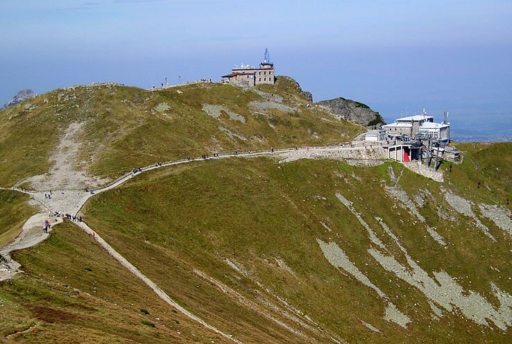
This is followed by a 15-minute walk to a junction below Kasper (1265 m.a.s.l.), than the trail continues to ascend to the Dry Saddle (Suché sedlo) (1,955 m.a.s.l.) and the Kasper hill (1985 m.a.s.l.). The top station of the cable car is located on the Polish side of the summit. The ascent takes about 1 h and 30 min. On your way back you return the same way.
Related valleys:
• Tichá dolina (Quiet valley)
 (1255 m.a.s.l.)")
 1960 m.a.s.l.")
 2494 m.a.s.l.")